
Fault in our stars’ homes: Beverly Hills could face magnitude 7 earthquake
Published 25 Jan, 2018 01:11 | Updated 25 Jan, 2018 07:39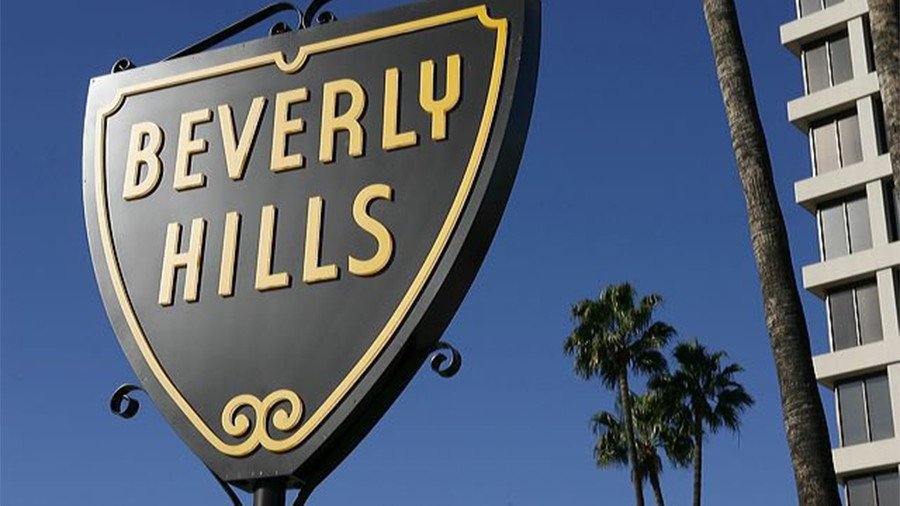
Geologists have discovered new fault lines in Southern California that could flatten some of the most luxurious retail stores and high-end real estate in Beverly Hills, Hollywood and other heavily populated areas of Los Angeles.
Earlier this month, the California Geological Survey (CGS) released 14 maps that show the location of new and revised fault lines under Beverly Hills, Culver City, Santa Monica, Hollywood, and elsewhere on the westside of Los Angeles.
A draft version of the maps released last year showed the Santa Monica fault line ending at the western border of Beverly Hills. Based on new data, the CGS says the Santa Monica fault line extends about a mile farther northeast, according to the Los Angeles Times.
Calif Geological Survey released 14 maps showing areas near earthquake faults that could be impacted during large seismic events. The maps provide new & updated info for LA, Riverside, Napa, Contra Costa, & San Mateo counties. View maps here: https://t.co/EyMYTE55mH#CGS#safetypic.twitter.com/oLyGUV0e3T
— DeptofConservation (@CalConservation) January 11, 2018
An interactive map released by the Los Angeles Times shows the fault line now runs directly through the so-called “Golden Triangle,” a shopping district in the heart of Beverly Hills famous for stores by Gucci, Louis Vuitton and other luxury brands.
The active fault line also runs through Brentwood, Santa Monica and Pacific Palisades, which is home to some of the most expensive real estate in Los Angeles. According to the Southern California Earthquake Data Center (SCEDC), the fault is capable of producing a major magnitude 7 earthquake.
According to the US Geological Service (USGS), a magnitude 7 earthquake can cause“considerable damage in ordinary substantial buildings with partial collapse” and “great” damage to poorly built structures.
“We’re all afraid of earthquakes,” Norbert Wabnig, who runs the Cheese Store of Beverly Hills, told the Los Angeles Times. “To know that there’s [a fault line] close to us, that’s even scarier.”
The maps were released as part of Alquist-Priolo Earthquake Fault Zoning Act, which was passed in 1972, a year after the San Fernando Earthquake destroyed much of the city.
The 6.6 magnitude San Fernando Earthquake killed 64 people and caused more than $550 million in property damage, according to the UC Berkeley Seismology Lab.
Los Angeles also suffered major damages during the magnitude 6.7 Northridge earthquake in 1994, which killed 72 people and an estimated $20 billion worth of damage, according to UC Berkeley.
The most recent earthquake on the Santa Monica fault was estimated to be between 1,000 to 3,000 years ago, according to the Los Angeles Times.
The new maps could create problems for future development projects in the area. The Alquist-Priolo Earthquake Fault Zoning Act prohibits the construction of certain buildings on the surface of active faults. While California does not require existing buildings to be altered, property owners are required to hire geologists in order to ensure that new buildings and major renovation projects are not located directly on active fault lines.
During previous earthquakes, homes that were built directly on a fault suffered much more damage than buildings that were just a hundred feet away, Tim Dawson, a senior engineering geologist with the CGS, told the Los Angeles Times.
“We don’t want to put essential facilities on top of active faults, such as fire stations, hospitals, schools,” Dawson said.
Thomas Fire victims blame California utility for devastating blaze https://t.co/CsGK53iJ3ipic.twitter.com/cNgbtLP9v6
— RT America (@RT_America) January 6, 2018
The Santa Monica earthquake fault zone is roughly 1,000 feet wide and more than eight miles long, running from the Golden Triangle in Beverly Hills to the West Coast Highway in the Pacific Palisades.
The CGS also released maps that show the Hollywood fault zone, which runs approximately nine miles from Atwater Village in Glendale along the Sunset Strip to the far end of West Hollywood, and the Newport-Inglewood fault zone, which runs from the Inglewood Oil Fields to Culver City and Pico-Robertson.