FEMA grounds drones helping authorities map Colorado flood areas
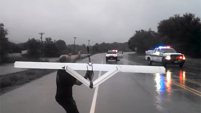
Federal emergency officials demanded a Colorado company working with authorities ground its hand-launched drones helping to assess flood damage around Boulder.
Working with the Boulder County Emergency Operations Center
(EOC), Falcon UAV voluntarily sent its aircraft last week on
damage assessment mapping flights around the towns of Longmont
and Lyons, northeast of flood-ravaged Boulder.
The company’s fixed-wing unmanned aerial vehicles (UAVs) were used in areas where manned aircraft was
unable to reach because of foul weather. For instance,
helicopters were unable to fly Sunday due to heavy rains,
according to CNN.
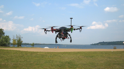
Falcon UAV’s craft can stay aloft for one hour at a time and uses
GPS and cameras to generate maps from 300 to 1,500 feet.
Despite having permits from the Federal Aviation Administration
(FAA) to fly in some parts of Colorado, Falcon was told Saturday
by Boulder EOC to cease flights based on operational takeover by
the Federal Emergency Management Agency (FEMA).
FEMA not only forbade any unauthorized drone flights, but said
anyone attempting to fly an UAV in the area was subject to
arrest.
“Not being one to bow to federal bureaucrats we still went up
to Lyons to do a site survey for how we can conduct a mission in
the near future to provide an adequate damage assessment to this
storm ravaged community,” according to a statement posted on
Falcon UAV’s website.
The company explained private planes and Civil Air Patrol were
allowed to maintain flights, yet due to the “large turn radius
of manned aircraft they were flying well out of a useful visual
range and didn't employ cameras or live video feed to support the
recovery effort. Meanwhile we were grounded on the Lyons high
school football field with two Falcons that could have mapped the
entire town in less than 30 minutes with another few hours to
process the data providing a near real time map of the entire
town.”
FEMA has not responded to requests for comment, according to IEEE
Spectrum.
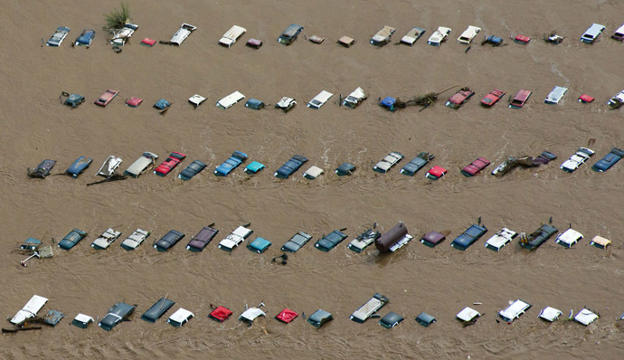
Falcon UAV said it still hopes drones can assist with the area’s
recovery from flooding that has left four dead and thousands
waiting for evacuation.
“We are very disappointed in FEMA’s response to actively
prevent the use of UAVs and drone technology when these services
were offered for free and at a time when manned helicopters could
be used for more critical missions such as evacuations and high
mountain search and rescues in inaccessible
communities,” the company wrote.